Citizen Science That Counts: eBird, iNaturalist and the Phone in Your Pocket
In the fading light of a Massachusetts salt marsh last April, one volunteer submitted a 22-minute eBird checklist that tallied 47 American Black Ducks, 12 Greater Yellowlegs and one calling Clapper Rail. Within 48 hours that single data point helped refine the Cornell Lab of Ornithology’s spring migration model for the entire Atlantic Flyway. Across the continent, hundreds of thousands of people now feed observations into global platforms, turning pocket phones into precision instruments for conservation. Their records have directly shaped hundreds of peer-reviewed papers, proving that weekend birders and backyard naturalists generate science-grade data when they follow simple protocols.
Merlin Bird ID serves as the gateway drug for many newcomers. Point your phone at a mystery song in the Adirondacks and the app returns a shortlist with confidence scores; confirm the Mourning Warbler and the sighting flows straight into eBird. The same phone then opens iNaturalist, snaps a photo of a questionable milkweed beetle, and receives an AI suggestion verified within minutes by a global community of 2.4 million registered users. Every verified record automatically deposits into the Global Biodiversity Information Facility, where researchers download it free of charge for modeling everything from bumblebee declines to jaguar corridors in the Pantanal.
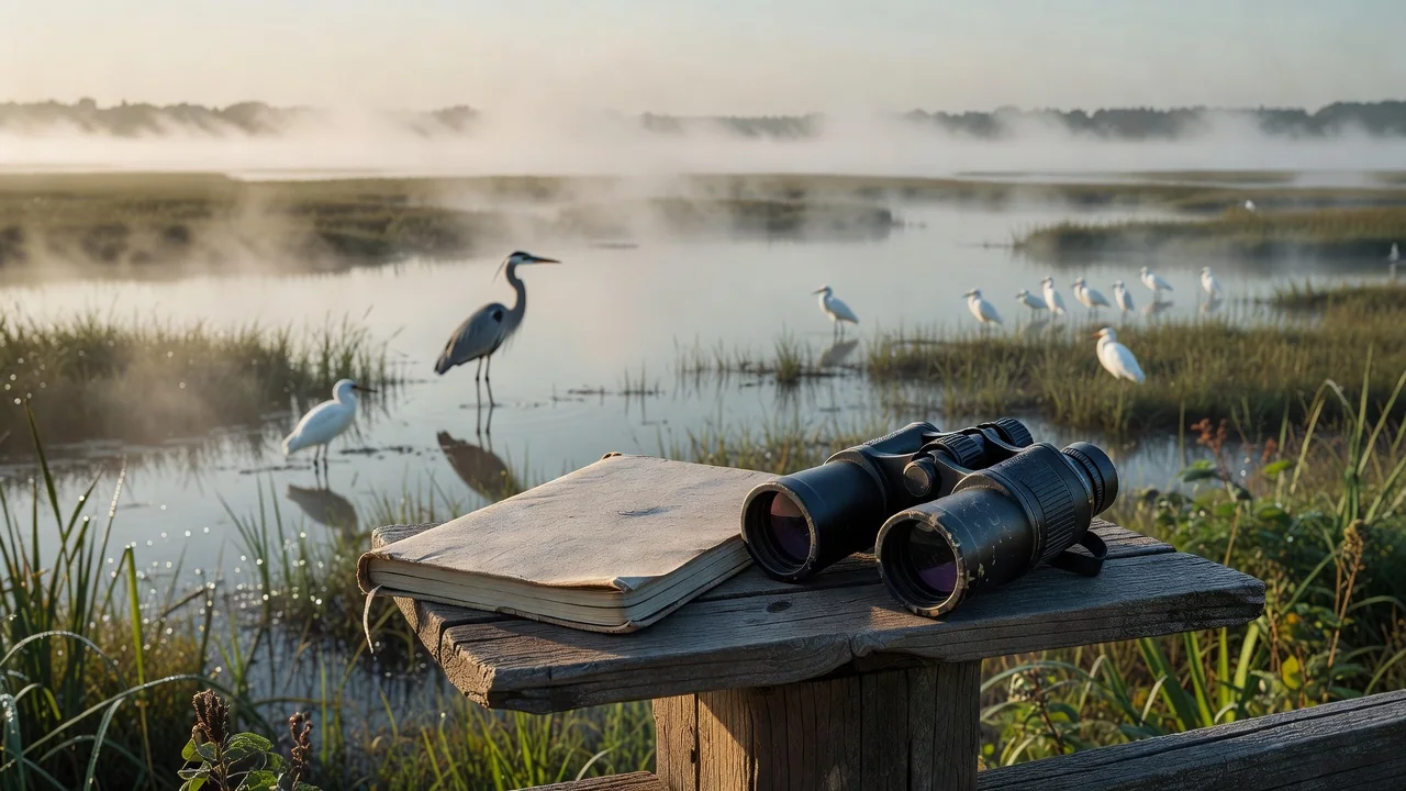
Why Complete Checklists Beat Random Photos
Submitting a complete checklist in eBird means recording every species detected during a fixed time and place, even the common European Starlings and Rock Pigeons most people ignore. Cornell Lab researchers emphasize that a 10-minute stationary count at one GPS point qualifies as a valid list, providing absence data as valuable as presence. Millions of such complete checklists from North America feed the databases that land managers from the U.S. Fish and Wildlife Service to the Canadian Wildlife Service.
Breeding Codes Turn Hikers into Atlas Contributors
During spring walks in the Sierra Nevada, observers using the eBird app can tap “P” for pair, “S” for singing male, or “FY” for feeding young. These behavioral codes feed directly into state breeding bird atlases; modern atlases incorporate hundreds of thousands of coded observations from citizen scientists. The codes require no extra equipment, just a few seconds of attention, yet they document reproductive success for species like the California Spotted Owl whose nests remain deliberately obscured by the app’s automatic location blurring.
iNaturalist’s Computer Vision and Community Verification Loop
iNaturalist’s Seek and main apps use machine learning trained on more than 110 million photos to suggest identifications within seconds. A photo of a Western Fence Lizard in Joshua Tree National Park receives a 98 percent match; the community curator then confirms the scale pattern and adds the record to the California reptile dataset. Over 60 percent of all iNaturalist observations reach Research Grade status and flow onward to GBIF, where they have supported thousands of scientific publications.
The Christmas Bird Count Legacy and Modern Bioblitzes
The National Audubon Society’s Christmas Bird Count, running continuously since 1900, remains the oldest citizen-science project on Earth. Each December, circles 15 miles in diameter host teams that tally tens of millions of birds across the Western Hemisphere over the count period. Local bioblitzes echo this model on smaller scales; a well-run 24-hour bioblitz can produce thousands of verifiable iNaturalist records, often including rare county firsts.
Real-World Conservation Outcomes From Your Data
Observations uploaded through these apps have informed protected-area planning and the siting of wind farms so that developers avoid peak migratory corridors of species like the Whooping Crane. State wildlife agencies now consult eBird abundance maps before approving development permits; revisions of state Important Bird Area networks now lean heavily on citizen checklists when new grassland is designated.
- A 10-minute complete checklist submitted from any habitat provides usable data for population trend analysis.
- Marking breeding codes during April through July directly supports state and provincial atlas projects.
- Obscure location data for sensitive species such as Barn Owls and Northern Goshawks is handled automatically by both eBird and iNaturalist.
- Photographs verified to Research Grade on iNaturalist become permanent records in the GBIF database within 24 hours.
- Merlin sound identifications logged in eBird now help calibrate acoustic monitoring networks on several continents.
- Combined datasets from these platforms have informed a steady stream of peer-reviewed conservation studies.
| App | Focus | Effort Level | Data Destination |
|---|---|---|---|
| eBird | Birds | 10-60 min | Cornell Lab, GBIF |
| Merlin | Bird ID | 30 sec | eBird backend |
| iNaturalist | All taxa | 1-5 min | GBIF, atlases |
| Seek | Kids & beginners | 1 min | iNaturalist |
| Christmas Bird Count | Winter birds | 1 day | Audubon, USGS |
Every time you open the app, spend ten thoughtful minutes in one spot, and hit submit, you join a global network whose collective effort now steers land-use decisions from the Florida Everglades to the Scottish Highlands. The phone in your pocket has become one of the most powerful tools in modern conservation.